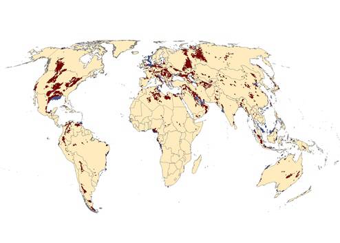
The petroleum datasets contain information on all known oil and gas deposits throughout the world. Two datasets are available: one for on-shore deposits and anonther one for off-shore deposits.
Given the geological characteristics of petroleum, the data are stored as polygons in shapefile (GIS) format. In addition, basic data on each deposit are available as spreadsheets (Excel). Here, spatial information is limited to latitude and longitude coordinates for the centerpoint of each deposit (polygon).
Aside from exact locational information, each deposit are registered with type of resource (oil and/or gas), discovery- and production dates (whenever known), name of petroleum basin, geographic coordinates of polygon centroid, and primary source of information.