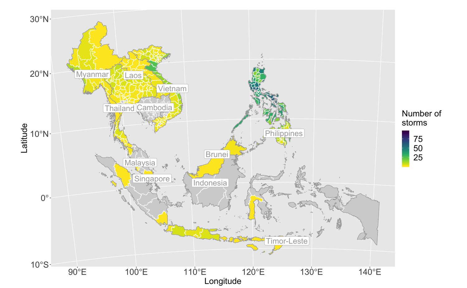
An article presenting a new global dataset of geocoded disaster locations has just been published in the Nature journal Scientific Data. The dataset, containing spatial geometry of nearly 40,000 unique locations of natural hazard-related disasters worldwide between 1960 and 2018, are posted in NASA's Socioeconomic Data and Applications Center's (SEDAC) data repository in collaboration with the Center for International Earth Science Information Network (CIESIN), Columbia University. These data allow users of the EM-DAT disater database for the first time to map and analyse disasters at subnational levels. The data collection was a central part of Elisabeth Lio Rosvold's now-concluded doctoral project and is a product of the CLIMSEC project.
Read the article (open access) here.


